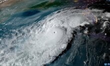
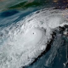
Hurricane Milton, a storm expanding in size, will force high surges of ocean into the west Florida coast.
In response, the National Weather Service's Tampa Bay office released a succinct, stark video showing the consequences of the looming hurricane, which exploited warm waters and favorable conditions to intensify into a monstrous cyclone.
"We're going to witness some historic, life-threatening storm surge," meteorologist Christianne Pearce says in the video, posted online.
At 20 seconds in, Pearce shows the average height of storm surge from recent Hurricane Helene, which was over most people's heads at seven feet. Then, the meteorologist shows the 10-foot surge expected for southwest Florida, which is the height of most home ceilings. Finally, at one minute, Pearce shows the 10 to 15 feet of surge expected where the storm's eyewall — where a hurricane's strongest winds rotate around the eye — makes landfall, along with areas directly south of the landfall.
"Fifteen feet is to our roof."
"Fifteen feet is to our roof," Pearce says, pointing to the top of the Tampa weather service office while urging people to heed evacuation orders.
Tweet may have been deleted
Tweet may have been deleted
The storm's track may change slightly over the coming two days, but the big picture is clear. The west coast of central Florida will see a historic storm. It will likely make landfall Wednesday night.
"If the storm stays on the current track, it will be the worst storm to impact the Tampa area in over 100 years," the National Weather Service said.
Tweet may have been deleted
Though a number of factors influence the formation of strong hurricanes (opposing winds that can break apart storms, moist or dry air, etc.), a vital influence is warm sea surface temperatures of over 80 degrees Fahrenheit (27 degrees Celsius). Warm oceans act as jet fuel for hurricanes, storm scientists explain. That's because warmer oceans fuel tropical storms as more water naturally evaporates into the air, giving storms energy and moisture to intensify. Crucially, the oceans, which absorb most of the heat created by burning fossil fuels, are relentlessly warming.
Today, Atlantic hurricanes are already twice as likely to develop from a milder storm into a major hurricane.


